-

Without GPS, will algorithms and sensors help soldiers know where they are?
Leidos’ ADEPT system uses overhead imagery to provide position, navigation and timing information in areas where GPS is blocked.
-

Planet has a new subscriber for its satellite imagery
As part of the ongoing transition of responsibility for commercial satellite imagery from the National Geospatial-Intelligence Agency to the National Reconnaissance Office, the NRO awarded Planet a contract for daily commercial imagery.

Featured:
Intel/GEOINT
The intelligence community may function behind the scenes, but its work is anything but the man behind the curtain. From commanders to dismounted troops, intelligence powers critical decision-making.
-

Modern ‘shock and awe’ would be defined by aging jets, new tactics
“We need to be able to use a scalpel and not a meat ax,” said Harlan Ullman, the defense consultant credited with coining “shock and awe.”
-

Bluestone Dam to get geospatial data management
Contract will include the initial design and creation of the base system, possible changes for five more years.
-

Space assets open GEOINT, SIGINT in India
India has about $26 billion worth of space tech, which is a ‘critical enabler in every phase of the intelligence cycle.’
-

Maritime awareness goes mobile
Apps for handheld devices are improving situational awareness at sea.
-

Navy orders laser mine detection system
The Northrop Grumman system is helicopter-mounted.
-
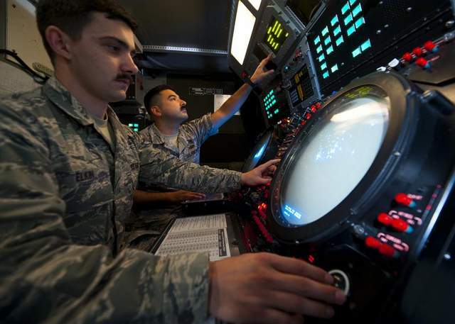
Air Force seeks electronic warfare roadmap
The Air Force has become concerned about the ability of its current EW receivers to keep up with advancements in radar waveform agility.
-

Sensor data demands more from storage
Nimble storage and agile management are necessary to reduce time spent looking for the right data.
-
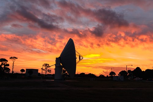
XTAR contributes X-band to help NASA spot space debris
In a project called KaBOOM, the NASA Jet Propulsion Laboratory is testing a phased reflector antenna array to improve detection and tracking of space junk near Earth.
-
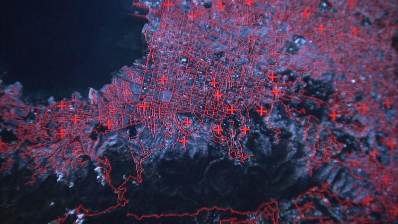
Amazon commercial cloud tapped for GEOINT
The National Geospatial-Intelligence Agency becomes the first intelligence agency to host an operational capability on Amazon.
-
Leidos takes electronic warfare contract
The Air Force Research Laboratory IDIQ calls on the company to research, develop and test a variety of warning and countermeasures systems.
-

Periscope-spotting radar software poised to go wide
A new round of tests for the Navy’s Automatic Radar Periscope Detection and Discrimination system is a prelude to full-scale production.