-
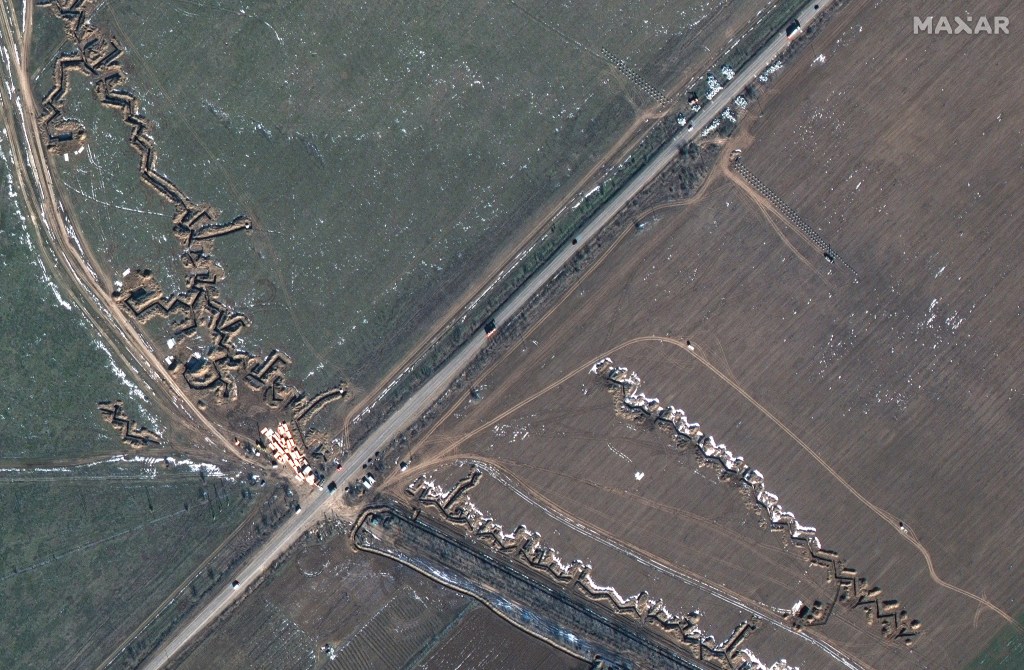
NATO hunger for info driving deals for commercial satellite imagery
The U.S. and U.K. are leading contributors to NATO joint ISR, with “everybody else” tailing, an official said at the GEOINT Symposium.
-
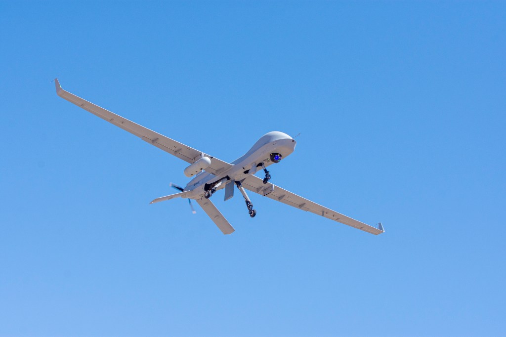
Geospatial-intelligence agency making strides on Project Maven AI
The project was created in 2017 to take data, imagery and full-motion video from uncrewed systems, process it and use it to detect targets of interest.

Featured:
Intel/GEOINT
The intelligence community may function behind the scenes, but its work is anything but the man behind the curtain. From commanders to dismounted troops, intelligence powers critical decision-making.
-
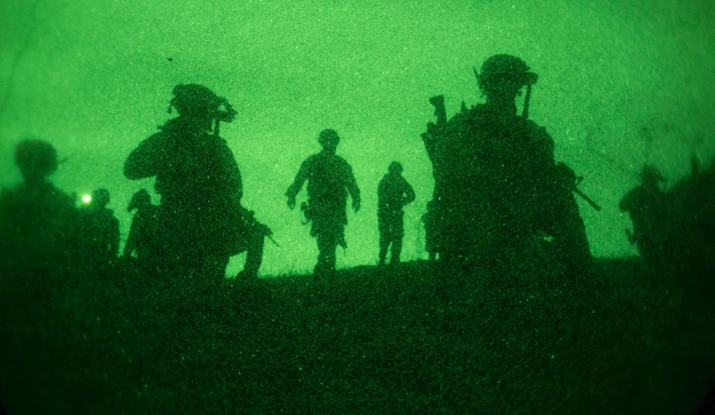
Changing video bit rate on the fly can boost the effectivness of ISR
The video-based intelligence provided by ISR platforms is critical to the situational awareness and effective decision-making needed for mission success.
-

A next-gen, precision-guided stealth missile is gaining seeker technology
BAE Systems is adding sensors to the Long Range Anti-Ship Missile, a joint Defense Advanced Research Projects Agency and Office of Naval Research program to develop a semi-autonomous missile able to detect and attack specific high-threat maritime targets within groups of ships.
-
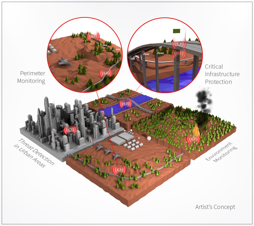
Don’t worry about this battery. It might not need a charge for 10 years.
Researchers are studying a battery for sensors that could run on a charge for 10 years. Some batteries today are replaced every three days.
-
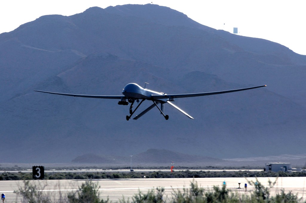
What the NDAA agreement means for C4ISR: More Gray Eagles?
Lawmakers are looking to fill holes in intelligence, surveillance and reconnaissance for combatant commanders around the word in the FY18 National Defense Authorization Act.
-
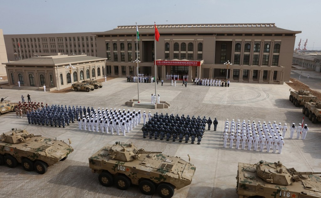
Satellite imagery offers clues to China’s intentions in Djibouti
China began construction of the base in March last year after it secured of a 10-year lease for what it had said will be a logistics support base used to resupply ships taking part in peacekeeping and humanitarian missions in the Gulf of Aden and Arabian Sea.
-
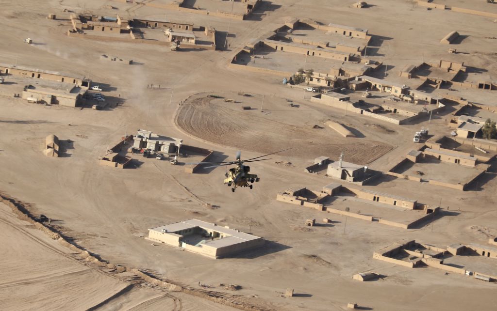
What World Bank learned from satellite images: ISIS sucked at oil production
It’s a good idea to understand how such a group can harness the resources it commands, and turn them into the fuel for a grotesque war machine. So, for all its bloodshed, how much oil did the Islamic State ultimately produce?
-
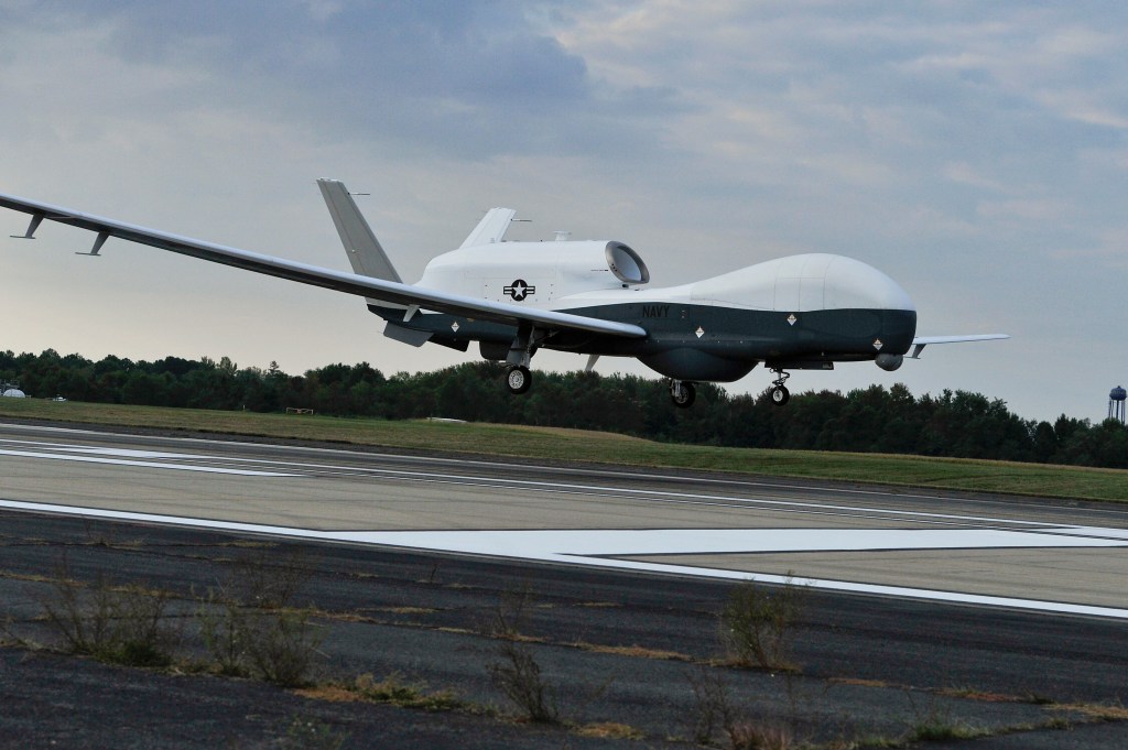
Navy’s Triton drone gets a targeting upgrade
Raytheon will leverage its digital sensors architecture to enhance intelligence gathering on the Navy’s maritime surveillance operations.
-
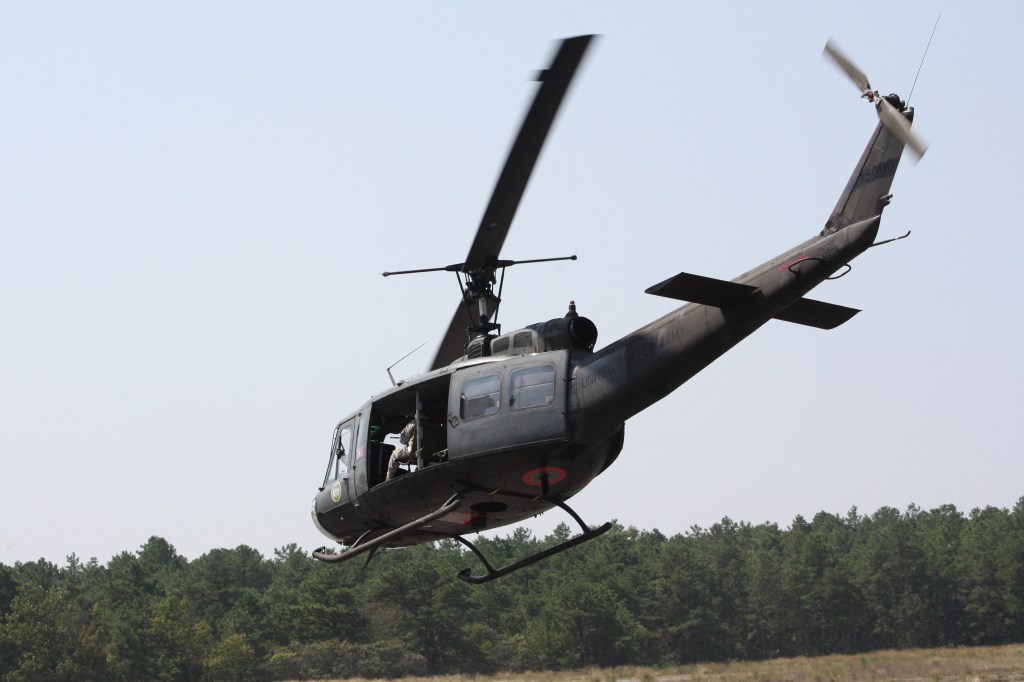
Army CERDEC pushing for next-gen airborne sensor systems
CACI will support the Army’s Communications-Electronics Research, Development, and Engineering Center Flight Activity with airborne platform systems integration, maintenance, and training and operations support for surveillance and reconnaissance.
-
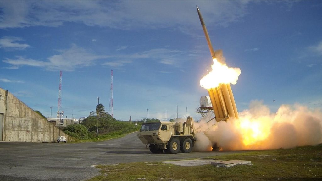
Missile Defense Agency wants sensor and simulation concepts
The work, to be performed for MDA in Huntsville, Ala., will pursue new interceptor and sensor tools and techniques.
-
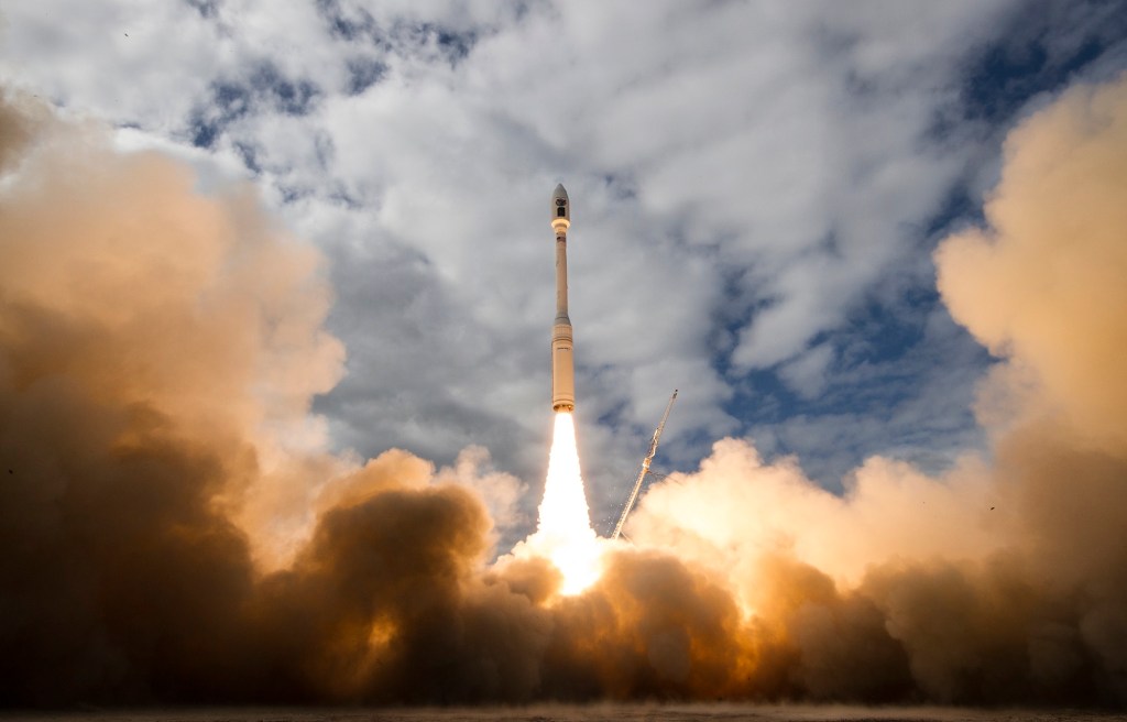
Planet Labs adds 10 imagery satellites to its flock
The six SkySat spacecraft and four miniature Dove satellites were launched Tuesday afternoon aboard an Orbital ATK Minotaur C rocket.
-
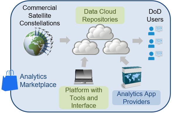
DARPA wants a tactical satellite imagery library
The Defense Advanced Research Projects Agency seeks to harness commercially available global satellite data for defense analysis.