-
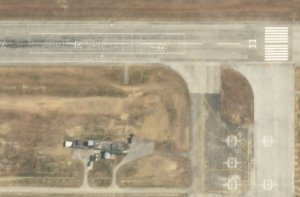
National Reconnaissance Office further expands contract with Planet
The contract extension gives the NRO more access to Planet’s capabilities just as the agency prepares to issue new commercial imagery contracts in 2022.
-

National Geospatial-Intelligence Agency issues new commercial strategy
The agency’s director says the new strategy will encourage employees to leverage more commercial technology.
-
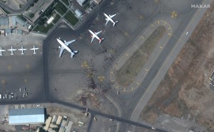
National Reconnaissance Office wants satellite imagery from commercial providers
A new request for proposals will govern the agency’s new commercial imagery contracts.
-
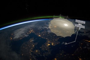
National Reconnaissance Office opens door for more commercial services
The new Broad Agency Announcement is designed to help the NRO access and evaluate emerging commercial satellite capabilities.
-

National Geospatial-Intelligence Agency boss reveals data strategy
The agency wants to ensure it can process the vast torrent of data it faces, and feed the most valuable intelligence to joint war fighters around the world.
-
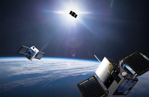
NGA taking a ‘try before you buy’ approach to commercial solutions
The agency is using bailment agreements and other contracting tools to test out commercial services before committing to them, allowing it to evaluate and integrate those services faster.
-
HawkEye 360 wins radiofrequency mapping contract with intelligence agency
HawkEye 360 aims to make invisible radio communications visible with its emission-detecting satellites. (HawkEye 360)
-
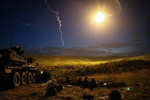
To win battles of information, the US Army will need deep sensing and data handling
The service wants to use sensors to “see” across the larger distances expected for future battles. And deeper sensing makes more data to process and understand.
-
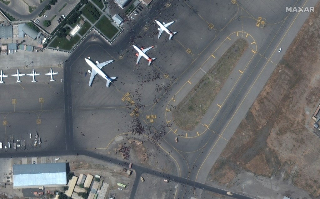
Satellite photos show chaos in Afghanistan exit
Satellite imagery from commercial providers shows crowds of people gathered on the tarmac at Hamid Karzai International Airport in Afghanistan as thousands of people try to exit the country.
-
Satellite photos show crowds at and around Hamid Karzai International Airport in Afghanistan
Satellites images from Maxar Technologies and Planet show a flood of people heading to Hamid Karzai International Airport and swarming onto the tarmac in the hopes of securing a flight out of Afghanistan.
-
National Reconnaissance Office further expands contract with Planet
The contract extension gives the NRO more access to Planet’s capabilities just as the agency prepares to issue new commercial imagery contracts in 2022.
-
National Geospatial-Intelligence Agency issues new commercial strategy
The agency’s director says the new strategy will encourage employees to leverage more commercial technology.
-
National Reconnaissance Office wants satellite imagery from commercial providers
A new request for proposals will govern the agency’s new commercial imagery contracts.
-
National Reconnaissance Office opens door for more commercial services
The new Broad Agency Announcement is designed to help the NRO access and evaluate emerging commercial satellite capabilities.
-
National Geospatial-Intelligence Agency boss reveals data strategy
The agency wants to ensure it can process the vast torrent of data it faces, and feed the most valuable intelligence to joint war fighters around the world.
-
NGA taking a ‘try before you buy’ approach to commercial solutions
The agency is using bailment agreements and other contracting tools to test out commercial services before committing to them, allowing it to evaluate and integrate those services faster.
-
HawkEye 360 wins radiofrequency mapping contract with intelligence agency
HawkEye 360 aims to make invisible radio communications visible with its emission-detecting satellites. (HawkEye 360)
-
To win battles of information, the US Army will need deep sensing and data handling
The service wants to use sensors to “see” across the larger distances expected for future battles. And deeper sensing makes more data to process and understand.
-
Satellite photos show chaos in Afghanistan exit
Satellite imagery from commercial providers shows crowds of people gathered on the tarmac at Hamid Karzai International Airport in Afghanistan as thousands of people try to exit the country.
-
Satellite photos show crowds at and around Hamid Karzai International Airport in Afghanistan
Satellites images from Maxar Technologies and Planet show a flood of people heading to Hamid Karzai International Airport and swarming onto the tarmac in the hopes of securing a flight out of Afghanistan.
-
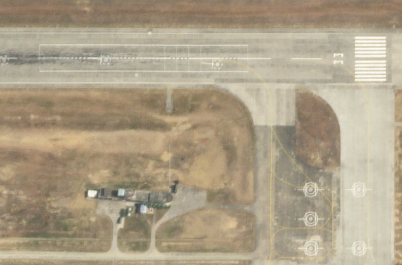
National Reconnaissance Office further expands contract with Planet
The contract extension gives the NRO more access to Planet’s capabilities just as the agency prepares to issue new commercial imagery contracts in 2022.
-

National Geospatial-Intelligence Agency issues new commercial strategy
The agency’s director says the new strategy will encourage employees to leverage more commercial technology.
-
National Reconnaissance Office wants satellite imagery from commercial providers
A new request for proposals will govern the agency’s new commercial imagery contracts.
-
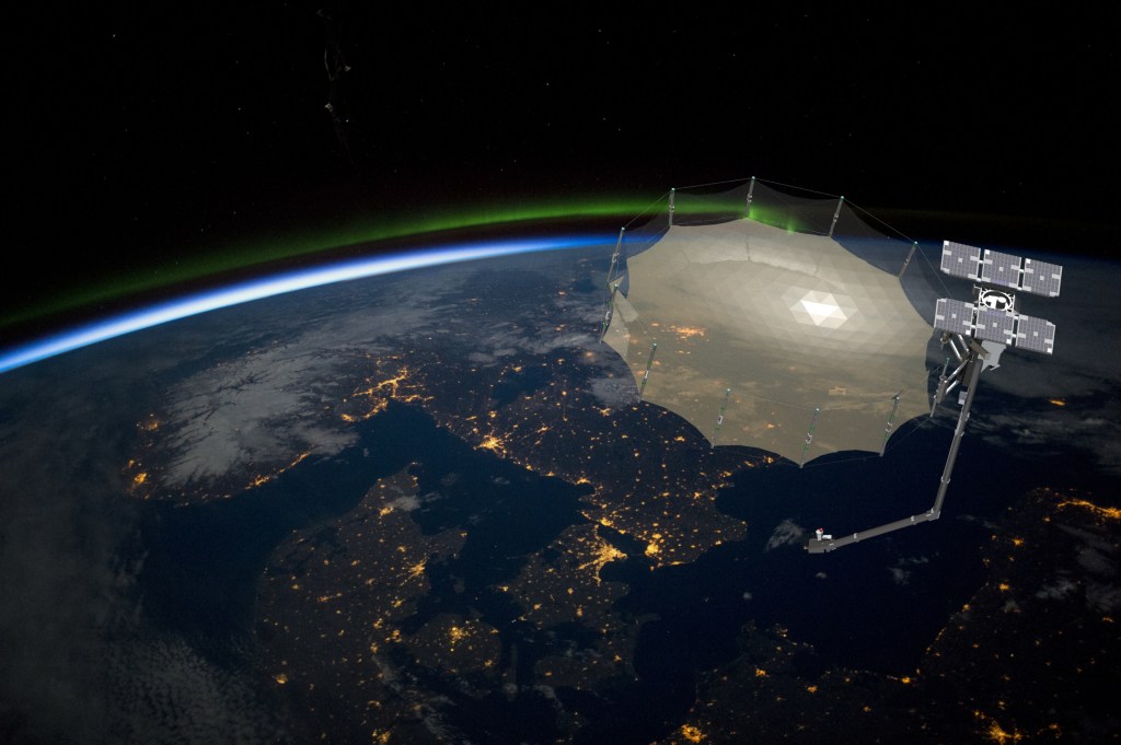
National Reconnaissance Office opens door for more commercial services
The new Broad Agency Announcement is designed to help the NRO access and evaluate emerging commercial satellite capabilities.
-

National Geospatial-Intelligence Agency boss reveals data strategy
The agency wants to ensure it can process the vast torrent of data it faces, and feed the most valuable intelligence to joint war fighters around the world.
-

NGA taking a ‘try before you buy’ approach to commercial solutions
The agency is using bailment agreements and other contracting tools to test out commercial services before committing to them, allowing it to evaluate and integrate those services faster.
-
HawkEye 360 wins radiofrequency mapping contract with intelligence agency
HawkEye 360 aims to make invisible radio communications visible with its emission-detecting satellites. (HawkEye 360)
-
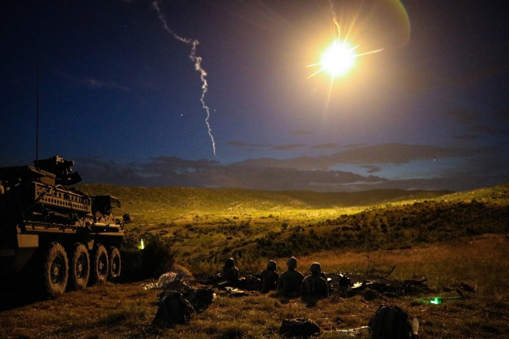
To win battles of information, the US Army will need deep sensing and data handling
The service wants to use sensors to “see” across the larger distances expected for future battles. And deeper sensing makes more data to process and understand.
-
Satellite photos show chaos in Afghanistan exit
Satellite imagery from commercial providers shows crowds of people gathered on the tarmac at Hamid Karzai International Airport in Afghanistan as thousands of people try to exit the country.
-
Satellite photos show crowds at and around Hamid Karzai International Airport in Afghanistan
Satellites images from Maxar Technologies and Planet show a flood of people heading to Hamid Karzai International Airport and swarming onto the tarmac in the hopes of securing a flight out of Afghanistan.