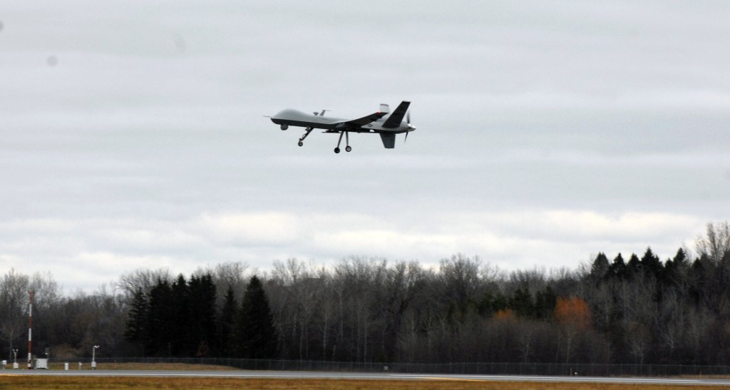
The Army wants to fuse 3-D imagery to enable its aviators to control manned and unmanned aircraft.
The goal is to help UAV operators as they “transition from their current roles actively piloting vehicles to serve instead as Mission Commanders (MC) supervising highly intelligent autonomous systems,” according to the Army Small Business Innovation Research (SBIR) solicitation.
So tThe Army wants to fuse imagery from multiple sensors into a single 3-D view that can display flight paths, line-of-sight and weapon ranges. “The resulting three-dimensional database will be presented to the MC utilizing existing display hardware, such as a panel-mounted display or a stereoscopic head-mounted display (HMD) such as the Microsoft HoloLens,” said the Army, which describes the concept as a virtual “sand table.”