-

$322M NGA cyber contract trains war fighters, protects their eye in the sky
NGA provides intelligence on geospatial imagery and mapping information, which is used by the U.S. military for planning and response for national disasters, combat, terrorist attacks and other events. But those assets are being threatened by cyberattacks as nation-states and non-nation actors attempt to disrupt or intercept that information.
-

US missile defense architecture upgrades will help neutralize long-range threats
Lockheed Martin is prepping for wideband radar capabilities that can enhance the effectiveness of ground-based interceptors by discriminating threats at extreme distances.
-

French military services will soon have the ‘active digital map of the 21st century’
A five-strong consortium has won the 10-year Sysnav contract, a key element in an information system designed to provide an active digital map for the French services.
-
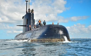
Behind the hunt for a missing sub: sensors, underwater drones
The United States has deployed a NASA patrol plane equipped with advanced sensor technology and underwater drones from the U.S. Navy to help search for a missing Argentine submarine and its 44 member crew,
-

Counterterrorism chief stepping down later this year
Nick Rasmussen will leave the government at the end of this year.
-
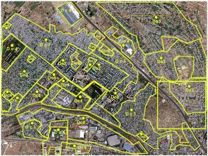
Congressmen introduce bills to standardize agencies’ geospatial data
A reintroduced set of bills in the House and Senate would improve the standardization of geospatial data across federal agencies.
-

Satellite imagery offers clues to China’s intentions in Djibouti
China began construction of the base in March last year after it secured of a 10-year lease for what it had said will be a logistics support base used to resupply ships taking part in peacekeeping and humanitarian missions in the Gulf of Aden and Arabian Sea.
-
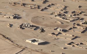
What World Bank learned from satellite images: ISIS sucked at oil production
It’s a good idea to understand how such a group can harness the resources it commands, and turn them into the fuel for a grotesque war machine. So, for all its bloodshed, how much oil did the Islamic State ultimately produce?
-
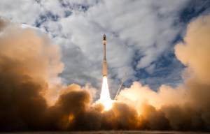
Planet Labs adds 10 imagery satellites to its flock
The six SkySat spacecraft and four miniature Dove satellites were launched Tuesday afternoon aboard an Orbital ATK Minotaur C rocket.
-
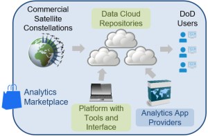
DARPA wants a tactical satellite imagery library
The Defense Advanced Research Projects Agency seeks to harness commercially available global satellite data for defense analysis.
-
$322M NGA cyber contract trains war fighters, protects their eye in the sky
NGA provides intelligence on geospatial imagery and mapping information, which is used by the U.S. military for planning and response for national disasters, combat, terrorist attacks and other events. But those assets are being threatened by cyberattacks as nation-states and non-nation actors attempt to disrupt or intercept that information.
-
US missile defense architecture upgrades will help neutralize long-range threats
Lockheed Martin is prepping for wideband radar capabilities that can enhance the effectiveness of ground-based interceptors by discriminating threats at extreme distances.
-
French military services will soon have the ‘active digital map of the 21st century’
A five-strong consortium has won the 10-year Sysnav contract, a key element in an information system designed to provide an active digital map for the French services.
-
Behind the hunt for a missing sub: sensors, underwater drones
The United States has deployed a NASA patrol plane equipped with advanced sensor technology and underwater drones from the U.S. Navy to help search for a missing Argentine submarine and its 44 member crew,
-
Counterterrorism chief stepping down later this year
Nick Rasmussen will leave the government at the end of this year.
-
Congressmen introduce bills to standardize agencies’ geospatial data
A reintroduced set of bills in the House and Senate would improve the standardization of geospatial data across federal agencies.
-
Satellite imagery offers clues to China’s intentions in Djibouti
China began construction of the base in March last year after it secured of a 10-year lease for what it had said will be a logistics support base used to resupply ships taking part in peacekeeping and humanitarian missions in the Gulf of Aden and Arabian Sea.
-
What World Bank learned from satellite images: ISIS sucked at oil production
It’s a good idea to understand how such a group can harness the resources it commands, and turn them into the fuel for a grotesque war machine. So, for all its bloodshed, how much oil did the Islamic State ultimately produce?
-
Planet Labs adds 10 imagery satellites to its flock
The six SkySat spacecraft and four miniature Dove satellites were launched Tuesday afternoon aboard an Orbital ATK Minotaur C rocket.
-
DARPA wants a tactical satellite imagery library
The Defense Advanced Research Projects Agency seeks to harness commercially available global satellite data for defense analysis.
-

$322M NGA cyber contract trains war fighters, protects their eye in the sky
NGA provides intelligence on geospatial imagery and mapping information, which is used by the U.S. military for planning and response for national disasters, combat, terrorist attacks and other events. But those assets are being threatened by cyberattacks as nation-states and non-nation actors attempt to disrupt or intercept that information.
-
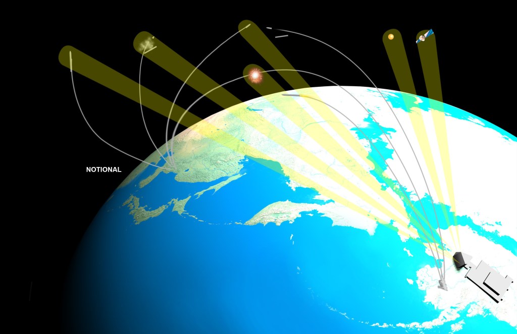
US missile defense architecture upgrades will help neutralize long-range threats
Lockheed Martin is prepping for wideband radar capabilities that can enhance the effectiveness of ground-based interceptors by discriminating threats at extreme distances.
-

French military services will soon have the ‘active digital map of the 21st century’
A five-strong consortium has won the 10-year Sysnav contract, a key element in an information system designed to provide an active digital map for the French services.
-
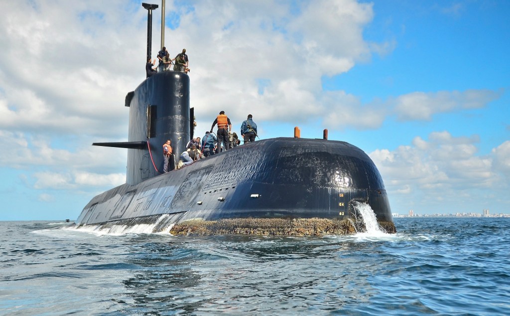
Behind the hunt for a missing sub: sensors, underwater drones
The United States has deployed a NASA patrol plane equipped with advanced sensor technology and underwater drones from the U.S. Navy to help search for a missing Argentine submarine and its 44 member crew,
-

Counterterrorism chief stepping down later this year
Nick Rasmussen will leave the government at the end of this year.
-
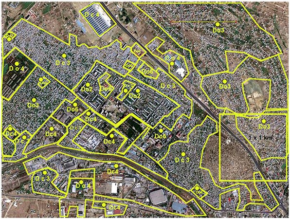
Congressmen introduce bills to standardize agencies’ geospatial data
A reintroduced set of bills in the House and Senate would improve the standardization of geospatial data across federal agencies.
-

Satellite imagery offers clues to China’s intentions in Djibouti
China began construction of the base in March last year after it secured of a 10-year lease for what it had said will be a logistics support base used to resupply ships taking part in peacekeeping and humanitarian missions in the Gulf of Aden and Arabian Sea.
-
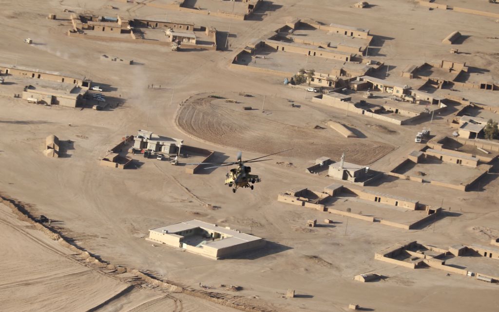
What World Bank learned from satellite images: ISIS sucked at oil production
It’s a good idea to understand how such a group can harness the resources it commands, and turn them into the fuel for a grotesque war machine. So, for all its bloodshed, how much oil did the Islamic State ultimately produce?
-
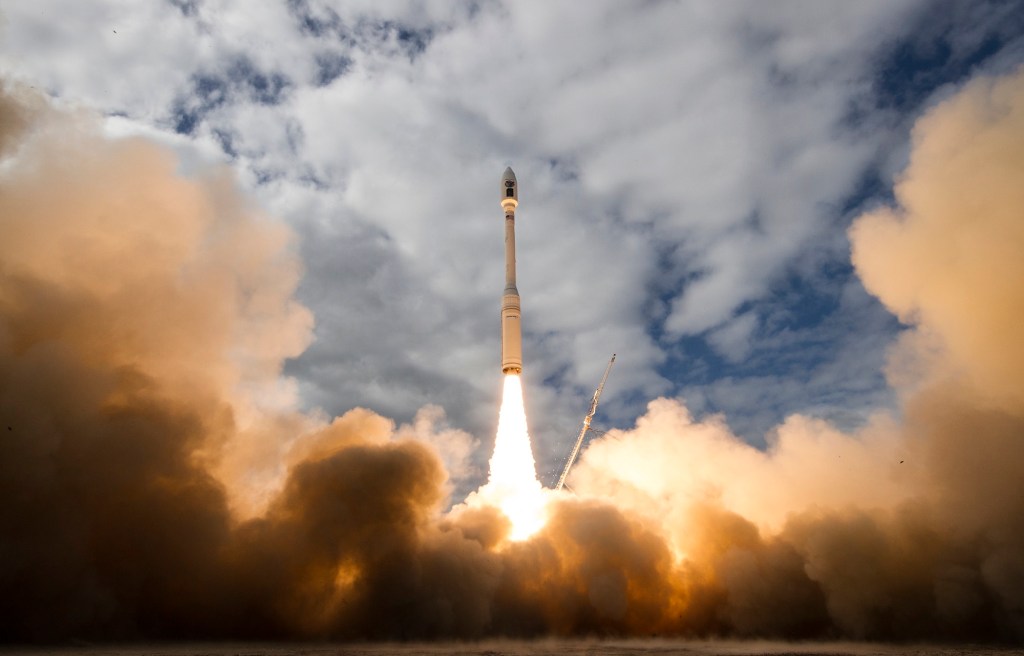
Planet Labs adds 10 imagery satellites to its flock
The six SkySat spacecraft and four miniature Dove satellites were launched Tuesday afternoon aboard an Orbital ATK Minotaur C rocket.
-
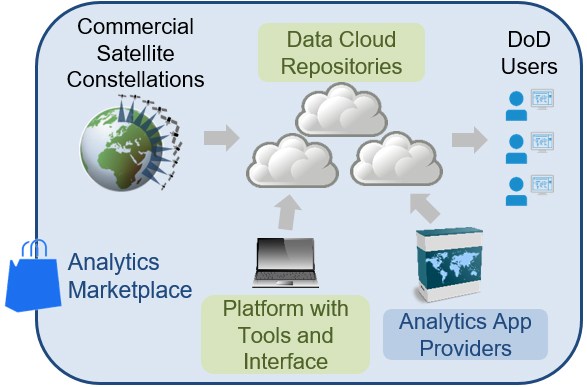
DARPA wants a tactical satellite imagery library
The Defense Advanced Research Projects Agency seeks to harness commercially available global satellite data for defense analysis.